News
EGU Blogs: The existential modeling crisis – and how to overcome it
Postdoc Lucia Layritz shares insight for researchers pursuing advanced degrees in ecological modeling on the European Geosciences Union (EGU)'s blog.
Journalism Fellow, Ava Hu, will grow data visualization skills at DSE
Ava is pursuing a master's in data reporting at the UC Berkeley Graduate School of Journalism, and joins DSE as a fellow this semester.
Welcome back to DSE: Max, Carolyn, and Evan!
At DSE, training the next generation of leaders on campus and beyond is core to our mission. At the start of the 2025-26 academic year, we’re thrilled to welcome back Max Taniguchi-King as our new Research Data Analyst, and Carolyn Zhuang and Evan Lingo as Undergraduate Data Science Interns!
GeoJupyter Blog: In-person Hackathon and Design Dialog 2025
Head to the GeoJupyter blog to read about the recent hackathon, which brought together 25 geospatial professionals on campus for a two-day intensive to reimaginge the future of JupyterGIS.
Postoc Lucia Layritz featured in the Guardian
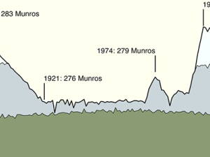
Lucia created a visual time series of the number of "monros" (mountains) over time, and her graphic was included in a recent edition of "The Crunch" newsletter.
DSE Postdoc Maya Zomer Uncovers New Insights into Mediterranean Shrub Resilience
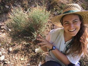
Maya Zomer, a postdoctoral researcher on our team, is the lead author of a new paper in Journal of Experimental Botany exploring how Mediterranean shrubs recover after disturbance and their resilience to global change.
Revisiting a Historic Opportunity to End Plastic Pollution
This week (August 5-14), representatives from the United Nations will begin final negotiations to establish a global treaty on plastic pollution. This is a historic opportunity to drastically reduce plastic pollution across the world.
DSE postdoctoral researcher, Lucia Layritz, untangles impacts of climate change and disturbance on boreal forests in new study
Lucia Layritz, a postdoctoral researcher on our team, recently published a new paper in Biogeosciences that examines how climate change and increasing disturbances, like wildfires, are impacting the future of boreal forests. She completed this research as part of her dissertation at the School of Life Science, Technical University of Munich (TUM).

